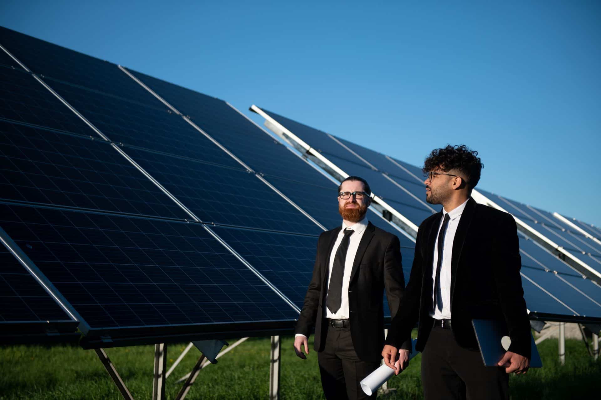










Mastering Solar Resource Assessment for Reliable Solar Power Plant Development
Understanding Solar Resource Assessment and Its Role in Project Feasibility
Solar resource assessment is the systematic process of quantifying solar irradiance and associated meteorological parameters at a defined project site. It forms the basis for designing, planning, and operating photovoltaic (PV) and concentrated solar power (CSP) plants by providing the data necessary to forecast energy generation and operational performance.
The measurement of key parameters such as:
- Global Horizontal Irradiance (GHI): total solar radiation on a horizontal surface combining direct and diffuse components, typically measured in watts per square meter (W/m²).
- Direkt normal bestrålning (DNI): direct solar irradiance measured on a surface perpendicular to sun rays, critical for CSP and tracking-PV technologies.
- Diffuse Horizontal Irradiance (DHI): solar radiation scattered by the atmosphere, reaching the surface indirectly.
supports site-specific system sizing and technology selection. Achieving measurement uncertainty within ±5% in irradiance estimation is a standard benchmark, as even minor deviations impact long-term energy yield predictions and financial returns significantly.
Solar resource data underpins detailed financial simulations, enabling developers and investors to model expected electricity production, calculate project payback periods, and quantify risk exposure. Consequently, detailed resource assessment is a regulatory and financial prerequisite for project bankability and electrification initiatives integrating renewable sources.
Data Acquisition Methods: Ground-based Measurements and Satellite Data Integration
Credible solar resource assessment mandates combining ground-based measurements with satellite remote sensing to capture spatial and temporal variability in weather data.
Ground-based measurements utilize Automatic Weather Stations (AWS) equipped with pyranometers and pyrheliometers compliant with IEC 61724 och ISO 9060 Class A sensor standards. Sensors such as the Kipp & Zonen CMP11 for GHI and the Hukseflux SR30 for DNI provide accurate irradiance data sampled at sub-hourly intervals.
Data collection campaigns must cover a minimum of 12 months, extending to 24 months when feasible, to include seasonal cycles and inter-annual variability. Monthly sensor calibration checks and drift assessments aligned with IEC 61724 criteria maintain measurement integrity throughout the campaign.
Satellite-derived solar resource datasets such as those from the NASA Surface Meteorology and Solar Energy (SSE) database, SODA, or the Copernicus Climate Data Store complement ground measurements. These datasets provide multi-decade historical records with spatial resolutions typically between 1 km and 10 km. Satellite data is used to validate ground measurements, fill temporal gaps, and extrapolate irradiance estimates across larger project footprints beyond sensor placements.
Quality assurance processes include cross-validation between sensors, removal of anomalous data points via statistical analysis, and adjustment using site-specific calibration coefficients. This adherence to best practices and standards ensures solar PV and renewable energy projects have access to reliable weather data essential for performance modeling.
Modeling Solar Power Plant Performance Using Resource Assessment Data
Once ground and satellite solar resource data have been validated, they serve as inputs for performance simulation software widely adopted in the industry, including PVsyst and the National Renewable Energy Laboratory (NREL) System Advisor Model (SAM).
These models integrate:
- Time series irradiance and meteorological data with typical resolutions from 1 to 15 minutes.
- Technical specifications of PV modules and inverters, referenced from datasheets compliant with IEC 61215 and IEC 61730.
- Site characteristics such as altitude, temperature profiles, shading analysis, and albedo effects.
Modeling incorporates system derate factors to approximate real-world losses:
- Temperature losses: Module efficiency typically decreases by approximately 0.3-0.5% per degree Celsius above standard test conditions (25°C).
- Inverter efficiency: Modern string inverters operate at 96-98% efficiency, factored in with inverter loading ratios.
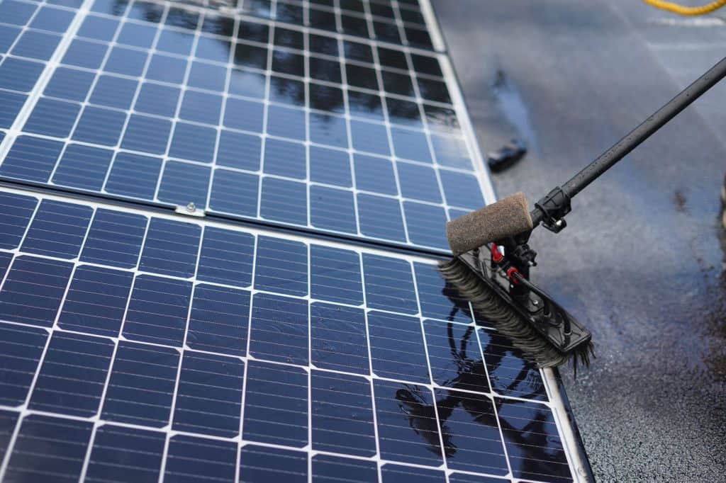
- Soiling losses: Dust accumulation can reduce output by 3-7% depending on location-specific environmental conditions and cleaning frequency.
- Shading impact: Quantified through site-specific modeling covering seasonal sun paths and structural obstructions, potentially causing up to 10% yield reduction in partially shaded areas.
Combined system losses often range from 10% to 15%, a standard assumption embedded within energy yield simulations to improve financial forecasting accuracy.
Advanced assessments include stochastic approaches analyzing historical weather variability and predicting inter-annual fluctuation ranges, typically ±10%. Optimization of panel tilt and azimuth angles is calculated based on solar geometry, ranging from 20° to 35° tilt for mid-latitude sites, boosting overall generation by up to 5% compared to standard fixed setups.
Balancing predicted energy output with anticipated electricity demand supports system design decisions crucial for both standalone solar PV and integrated agrivoltaic systems as planned by Solar Plus Garden.
Risk Mitigation Through Comprehensive Solar Resource Analysis
Solar resource assessment informs risk management by characterizing variability, uncertainty, and long-term trends affecting energy production and financial outcomes.
Measurement and modeling uncertainties in irradiance and weather data translate into variability in annual energy production, commonly expressed as ±10% confidence intervals derived from combined sensor error, temporal sampling limitations, and climate variability.
Scenario analysis leverages historical irradiance and temperature datasets spanning 20+ years, coupled with climate projection models applying regional downscaling techniques. This long-term outlook enables forecasting of solar resource trends, including potential shifts in cloud cover or atmospheric turbidity that could alter yield patterns.
Financial institutions and insurance companies typically require comprehensive resource assessment documentation demonstrating adherence to standards such as IEC 61724 for monitoring and ISO 9060 for instrumentation. Transparent reporting, including traceable data provenance and uncertainty quantification, supports risk-sharing and project finance structures.
Mitigation strategies extend to engineering design, including adding capacity margins (typically 5-10%) and incorporating energy storage or demand management solutions to stabilize output against resource variability. These technical buffers ensure minimum contractual generation thresholds are met despite climatic fluctuations.
Integrating Solar Resource Assessment with Agrivoltaic Community Projects
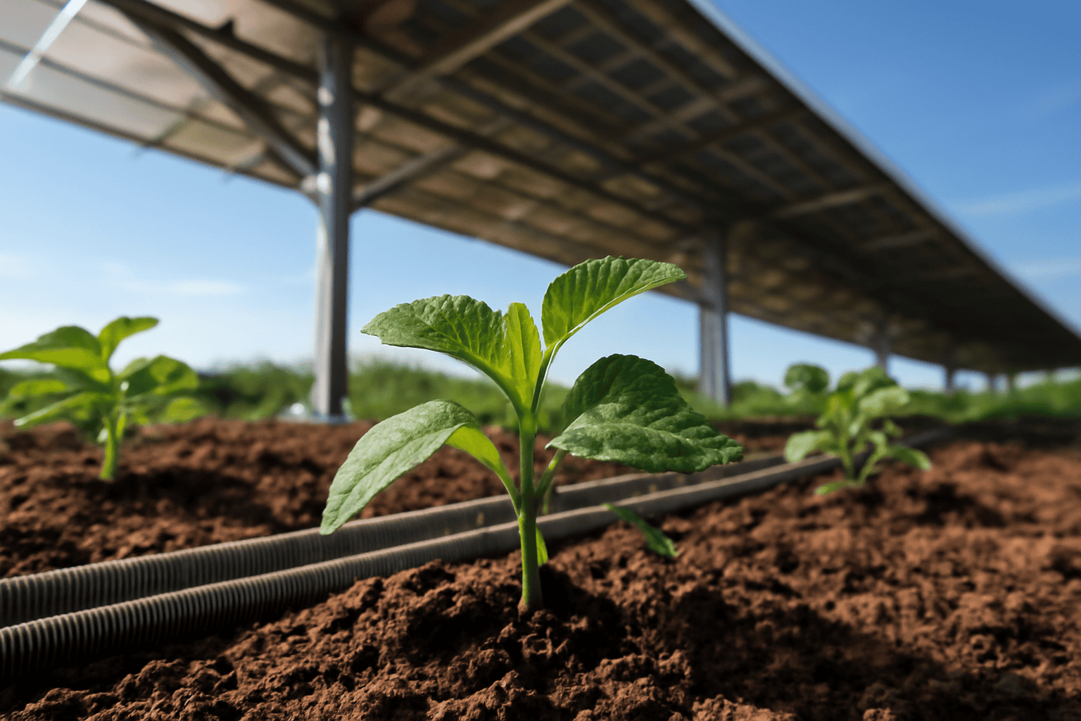
Agrivoltaic systems like Solar Plus Garden combine solar PV arrays with agricultural activity, presenting distinct variables in solar resource allocation and measurement.
Resource assessment for agrivoltaik incorporates radiative transfer and shading models to estimate the modified solar irradiance received by crops under PV panels compared to open ground. Literature reports typical shading fractions reducing crop-level irradiance by 20-30%, varying with panel spacing, tilt, and seasonal sun angles.
This adjustment requires integrating spectral and spatial irradiance data to accurately model photosynthetically active radiation (PAR) reaching plants, directly affecting crop growth models and yield forecasts.
Solar resource modeling affects medlemskap i gemenskapen value propositions by transparently linking expected trädgårdslåda produce output with solar power generation metrics. These data promote informed decision-making for investors and members in community-based renewable energy projects.
Site resource mapping, resolved to scales under 10 meters, is conducted using combined ground and drone-assisted surveys, facilitating layout optimization that balances electrical generation with agronomic productivity. This alignment supports long-term community satisfaction and project sustainability, vital for initiatives structured on membership fees and transparent governance.
Adopting Best Practices and Standards in Solar Resource Assessment
Compliance with internationally recognized standards and transparent operational procedures ensures the reliability of solar resource assessment outputs critical for stakeholders.
IEC 61724 specifies monitoring system performance, requiring irradiance sensor errors to remain within ±2% for Class A pyranometers, with calibration traceable to national standards. ISO 9060 classifies solar radiometers by spectral response and temperature dependence, guiding sensor selection for accurate measurement.
Solar Plus Garden implements a dual-legal framework integrating Estonian OÜ and Serbian DOO entities, addressing jurisdictional compliance for data collection, payments, and reporting. A regulated escrow payment model ensures that funds allocated to solar resource assessment are used solely for verified operational expenses.
Integration of digital platforms such as Notion AI supports data management, enabling rapid extraction of measurement reports, decision logs, and status updates, which increases project transparency and operational governance efficiency.
Steps to Implement Solar Resource Assessment for a 10 MW Solar Plus Garden Project
The Solar Plus Garden 10 MW project roadmap delineates a phased solar resource assessment approach tailored to its community agrivoltaic goals:
- Phase 1 – Preliminary Site Screening: Analyze multi-year satellite solar resource datasets and meteorological records to shortlist candidate sites with average annual GHI exceeding 1,300 kWh/m² and suitable agronomic zones for garden crops.
- Phase 2 – Ground-based Sensor Installation and Data Collection: Deploy calibrated Class A AWS units measuring GHI, DNI, DHI, ambient temperature, wind speed, and relative humidity. Collect continuous data over 12 to 18 months to capture inter-seasonal and anomalous weather patterns, concurrently operating agrivoltaic trial plots for shading impact validation.
- Phase 3 – Data Validation and Modeling: Perform IEC 61724-compliant quality control and cross-validation with satellite records. Input verified data into PVsyst or SAM to simulate energy production, optimize panel layout, tilt, and evaluate community garden yield, finalizing benefit allocation frameworks for members.
- Phase 4 – Ongoing Monitoring and Adaptive Management: Implement continuous post-commissioning system performance monitoring, calibrate models using live data, and adjust operational parameters based on observed weather variability and community feedback, ensuring compliance with regulatory and membership transparency requirements.
From initial screening through adaptive management, the overall duration typically spans 18-24 months, consistent with industry best practices for medium-scale solar PV and integrated agrivoltaic projects.
Vanliga frågor
- What is the minimum data collection period recommended for reliable solar resource assessment?
- A minimum of 12 consecutive months of calibrated ground-based measurements, supplemented by multi-year satellite data, is considered necessary to capture seasonal variability and reduce uncertainty in solkraftverk energy yield forecasting.
- How does solar resource assessment affect the financial returns of a solar power project?
- Precise solar resource assessment directly impacts project feasibility by determining expected annual energy output, which influences revenue projections, payback timelines, and investor risk assessment.
- Can solar resource assessment accommodate the shading effects in agrivoltaic systems like Solar Plus Garden?
- Resource assessments for agrivoltaics integrate shading correction models adjusting solar irradiance by approximately 20-30%, ensuring simultaneous optimization of energy production and agricultural yield.
- What standards ensure the quality and reliability of solar resource assessment data?
- Standards such as IEC 61724 for performance monitoring accuracy and ISO 9060 for sensor classification govern data quality, instrument calibration, and assessment methodologies in solar resource evaluations.
Slutsats
Accurate solar resource assessment is fundamental for developing robust and financially viable solar power plants and integrated agrivoltaic community projects like Solar Plus Garden. The process demands at least 12 months of calibrated ground-based data collection, supplemented with satellite resources, validated through rigorous quality controls in accordance with IEC 61724 and ISO 9060.
Detailed data input into simulation software facilitates dependable energy yield estimation, risk quantification, and system optimization tailored to site-specific conditions. This scientific basis supports transparent community benefits, secure financing, and sustainable electrification strategies aligned with Solar Plus Garden’s mission.
Ongoing reassessment and adaptive management using digital tools ensure responsiveness to evolving climate conditions and technological advances, protecting long-term project integrity and investor confidence in solar PV and renewable energy investments.